Sites, viewpoints, and visible work change continuously
Construction / Solution blueprint
Visual progress and safety intelligence
A governed vision system for tracking visible progress, site conditions, and defined safety events across active projects.
Explore the page ↓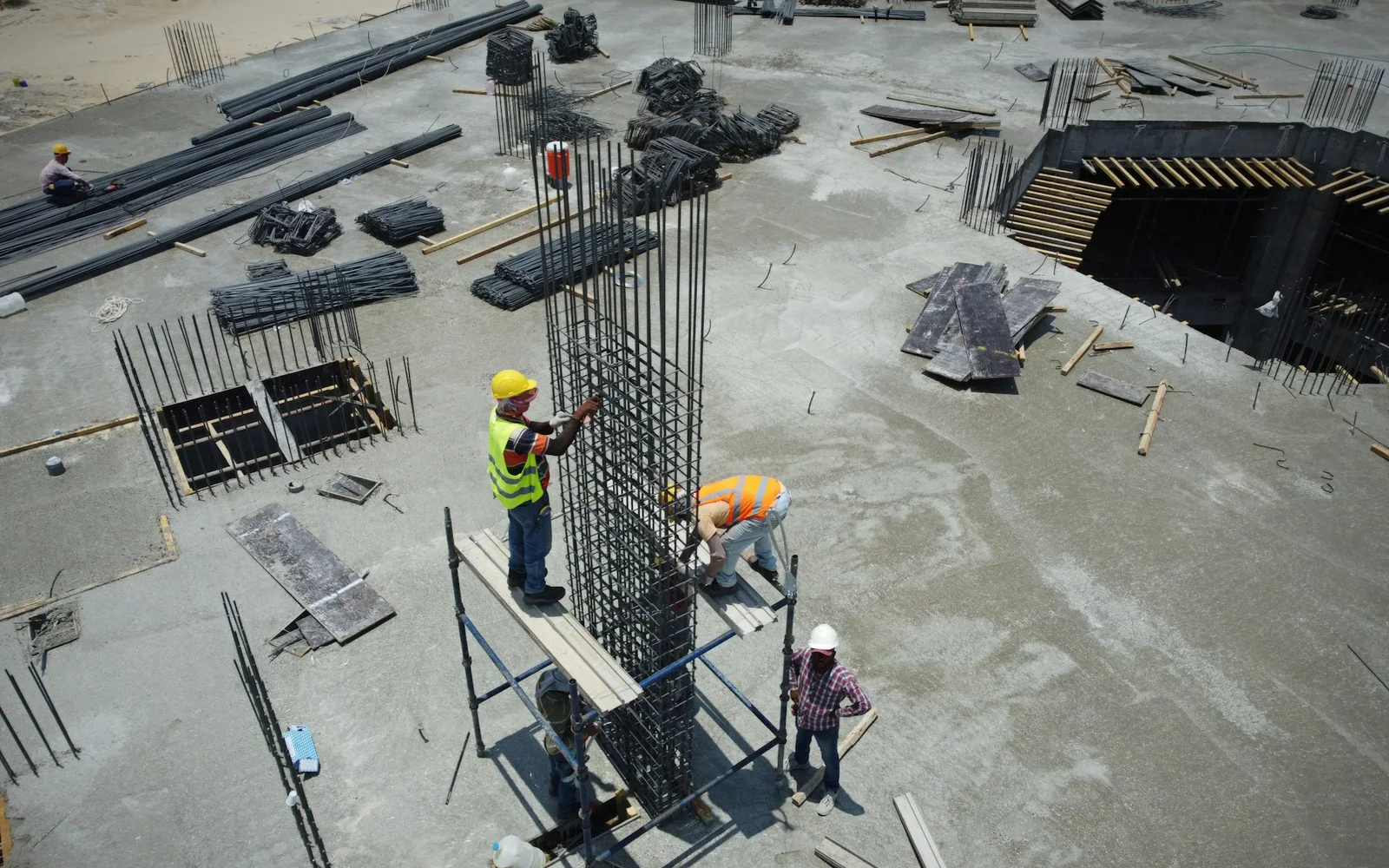
StatusSolution blueprint
IndustryConstruction
SystemData → Intelligence → Action
01 / Problem statementProposed system · Construction
The operating problem
Progress reporting is manual and fragmented, while large, changing sites make consistent observation difficult.
Conditions the system must survive03 operating constraints
Schedule activities do not always map cleanly to visual evidence
Safety observations require context and human verification
02 / How we approached it
A validation path before production commitment.
The blueprint is organized around four evidence gates. Each stage closes a specific uncertainty before the system moves closer to production.
01Frame
Capture repeatable site imagery
Evidence produced
Zone, activity, and visible-condition taxonomy
02Evaluate
Align visual evidence with project zones and schedules
Evidence produced
Repeatable capture plan aligned to schedule and site geometry
03Engineer
Detect defined conditions with reviewer verification
Evidence produced
Progress and condition benchmark with reviewer agreement
04Operationalize
Generate traceable progress and exception reports
Evidence produced
Project-controls dashboard with evidence-linked exceptions
03 / Deployment design
Designed for the environment it must operate in.
The deployment model is proposed from the current operating constraints. Discovery and evaluation would confirm the final infrastructure and integration choices.
Blueprint statusProposed · requires discovery and acceptance testing
01
TopologyScheduled mobile, fixed-camera, or aerial capture processed in a project-isolated cloud workspace.
02
IntegrationVisual evidence aligns with BIM zones, schedule activities, document control, and safety review workflows.
03
OperationExceptions remain reviewer-owned; model and capture quality are tracked as site conditions evolve.
04 / Evaluation metrics
What must be measured before the system earns trust.
These metrics establish the baseline and acceptance gates for a future implementation. Numerical targets are set against customer data during discovery.
01Evaluation gate
Progress-state agreement
How it is measured
Agreement between model output and project-controls review by activity and zone.
What it decides
Defines which progress indicators are reliable enough for reporting.
02Evaluation gate
Condition alert precision
How it is measured
Share of surfaced safety or site conditions confirmed by reviewers.
What it decides
Controls alert fatigue and escalation policy.
03Evaluation gate
Coverage completeness
How it is measured
Planned zones with usable, comparable imagery.
What it decides
Separates model gaps from capture gaps.
04Evaluation gate
Reporting cycle time
How it is measured
Time from capture to evidence-linked exception report.
What it decides
Quantifies reduction in manual reporting effort.
05 / Customer perspective
Value has to appear in the customer’s operating day.
What matters in practice
The value is a defensible record of what changed, where it changed, and what needs verification—not an opaque percentage complete.
06 / Technology context
Tools follow the system—not the other way around.
Final architecture depends on data quality, operating conditions, integrations, risk, and evaluation criteria established during discovery.
07 / Continue exploring
Related operational systems.
Explore adjacent work from the same industry or a related intelligence pattern.
View the full library ↗ Solution blueprintPhoto · Jakub Pabis
Oil & Gas
Edge AI for predictive maintenance and leak detection
A production blueprint for detecting equipment anomalies and potential leaks close to the asset—even where connectivity is limited.
Explore the architecture ↗ Solution blueprintPhoto · Remy Gieling
Manufacturing
Computer vision for visual quality inspection
A line-speed inspection architecture for surface defects, assembly errors, dimensional anomalies, and traceable quality decisions.
Explore the architecture ↗Test the operating assumption
Discuss this use case ↗